Historic Landscape
Characterisation
The Gwent Levels
10 Magor Lower Grange
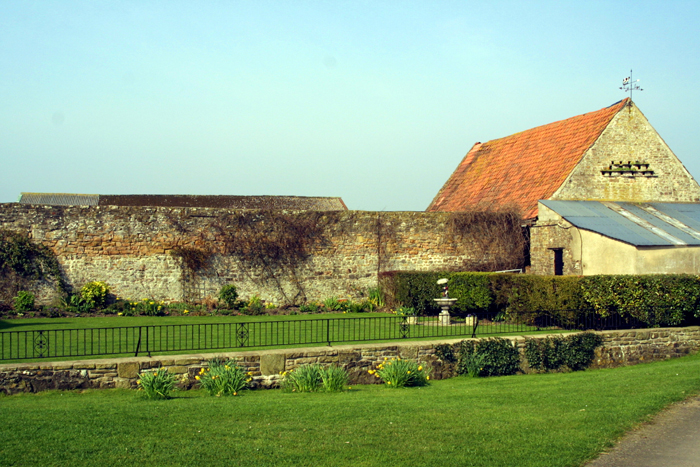
10 Magor Lower Grange character area: another of Tintern's
estates, drained in the mid-thirteenth century.
(Photo: GGAT Gwent Levels 022)
Click here for a character
area map
The landscape around Lower Grange in Magor dates primarily to the mid-thirteenth century when the monks of Tintern were given permission to enclose and drain it. However, the outer boundaries, including Blackwall and Whitewall are earlier.
There are a series of medieval references to Whitewall and the drainage of Tintern's "Lower Grange".
Key historic landscape characteristics
Drainage features include major reens (no surviving ridging/surface
drainage), lanes with road-side waste, ribbon settlement and enclosure
on roadside waste, regular rectilinear field pattern, important monastic
association (monastic grange)
Whitewall Reen lies to the east (area 6), Pill Street to the south (area 6), and Blackwall Reen (area 6) to the west. Magor Marsh Nature Reserve (area 9) lies to the north.
The principal elements of this landscape include the three roads/reens that form the east, west and southern sides. Pill Street to the south and Whitewall to the east formerly had wide strips of roadside waste, which have been enclosed and partly occupied by cottages. Blackwall to the west is a green lane; stone facing of the actual wall survives in places.
The field-boundary pattern is characterised by large rectilinear fields, which though recently enlarged, retain their historic character. The only farmstead is Lower Grange Farm itself. To the east lies Mill Reen, a raised watercourse that carries upland water across the Levels to the coast at Magor Pill (in the same way as Monksditch does in areas 1, 2 and 4).
This is a very rare landscape on the Levels in that its origins are documented. The association with the monks of Tintern Abbey increases that importance. It is also a very coherent landscape with a high group value. There are extensive views of the uplands, providing a sharp contrast to the extensive flat plain that is the Levels.
All of the fields are improved with no surviving ridging/surface drainage. Most hedges have been cut or removed, though there are a few trees around the farm itself. The area has seen particularly extensive ploughing.
Despite agricultural improvement and the two sets of pylons which cross the area, this remains a well-preserved landscape. Parts of Blackwall and Mill Reen are in good condition, and the pattern of large fields retains their original character. The area is a fine example of a documented monastic grange with well defined boundaries.
Overall, the integrity of this landscape is high, and though its coherence
is currently more limited, this could be restored through field-boundary
replacement.